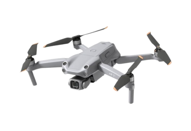
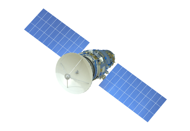
Astrolabe Geographic Information Systems Company We provide innovative and advanced digital solutions to analyze and transform geospatial data into valuable information. Get to know us? We provide advanced aerial surveying and satellite imagery services, with geospatial data analysis to support your decisions with accurate and reliable data. Unmanned Aerial Vehicles (UAVs) Remote sensing Unmanned Aerial Vehicles (UAVs) Remote sensing