We provide advanced aerial surveying and satellite imagery services, with geospatial data analysis to support your decisions with accurate and reliable data.
Astrolabe Geographic Information Systems Company (AGISC)
Is a comprehensive business development firm offering database creation, design services, and consulting to diverse entities and companies. Through unwavering collaboration with our clients, we can take a project from its initial concept to its fully deployable solution.
Is a comprehensive business development firm offering database creation, design services, and consulting to diverse entities and companies. Through unwavering collaboration with our clients, we can take a project from its initial concept to its fully deployable solution.
Our vision at Astrolabe GIS is to be the leading company in the Kingdom of Saudi Arabia in the field of providing geospatial solutions, terrestrial surveys and aerial photography. We strive to empower government and private sector projects across the Kingdom by changing the way they understand, interact and extract insights from their physical environment.
Our vision at Astrolabe GIS is to be the leading company in the Kingdom of Saudi Arabia in the field of providing geospatial solutions, terrestrial surveys and aerial photography. We strive to empower government and private sector projects across the Kingdom by changing the way they understand, interact and extract insights from their physical environment.
Our vision at Astrolabe GIS is to be the leading company in the Kingdom of Saudi Arabia in the field of providing geospatial solutions, terrestrial surveys and aerial photography. We strive to empower government and private sector projects across the Kingdom by changing the way they understand, interact and extract insights from their physical environment.
Our vision at Astrolabe GIS is to be the leading company in the Kingdom of Saudi Arabia in providing geospatial solutions, terrestrial surveys and aerial photography. We strive to empower government and private sector projects across the Kingdom by changing the way they understand, interact and extract insights from their physical environment.
We offer precise measurements and detailed feature mapping of your property, crucial for design and planning permits. Our topographical mapping services deliver all the necessary features and levels for your project
Our aerial division caters to all your needs; from flight planning and dedicated aerial image collection projects to conducting tailor-made aerial surveys in Saudi Arabia. Including geo-referenced, Orthomosaics and Digital Elevation Models
AGISC team uses small UAVs to help you cost-effectively monitor all phases of your construction activities from site preparation through to project completion.
GISC team uses GIS services for the collection, storage, analysis, and visualization of geographic data to help create maps, analyze spatial relationships, model real-world processes, and aid decision-making across various industries like urban planning, agriculture, and disaster management.
Asrtolab Geographic Information Systems Company (AGISC) can dispatch aerial crew across Saudi Arabia to capture real-time conditions to help farmers make timely decisions on the health of their crops.
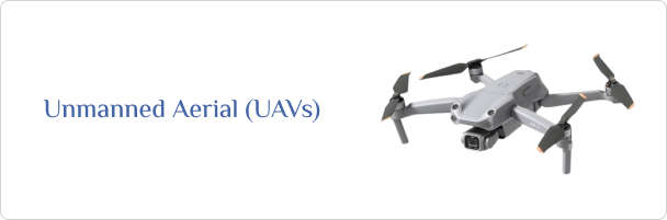
A drone is an aircraft that ia remotely controlled or pre-programmed to follow a specific path to perform a certain task.
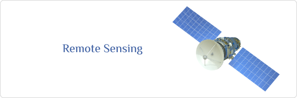
Satellites
Satellites are devices launched into space and orbit the Earth or another planet, used for a variety of purposes such as communications, space exploration, weather forecasting, and environmental monitoring.