We provide advanced aerial surveying and satellite imagery services, with geospatial data analysis to support your decisions with accurate and reliable data.
Our Services
LAND SURVE
We offer precise measurements and detailed feature mapping of your property, crucial for design and planning permits. Our topographical mapping services deliver all the necessary features and levels for your project. Utilizing GPS/GNSS, cutting edge robotic instruments, and Total Station technology, we ensure accuracy. Through our software and tools, we can provide various types of data, including volumetric calculations, change lines, 3D contours, point clouds, and much more
Our aerial division caters to all your needs; from flight planning and dedicated aerial image collection projects to conducting tailor-made aerial surveys in Saudi Arabia. Including geo-referenced, Orthomosaics and Digital Elevation Models
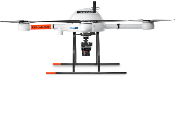
AGISC team uses small UAVs to help you cost-effectively monitor all phases of your construction activities from site preparation through to project completion. Easy to manage, portable, and flexible in their ability to get quickly to otherwise difficult areas of access, our unmanned aerial vehicles (UAVs) can safely and immediately transmit high-resolution photographs and videos to the construction management team.
AGISC team uses GIS services for the collection, storage, analysis, and visualization of geographic data to help create maps, analyze spatial relationships, model real-world processes, and aid decision-making across various industries like urban planning, agriculture, and disaster management. These services enable you to better understand the geographic patterns and trends, leading to informed actions and strategies.
Asrtolab Geographic Information Systems Company (AGISC) can dispatch aerial crew across Saudi Arabia to capture real-time conditions to help farmers make timely decisions on the health of their crops. AGISC focuses on yields. The imagery products including color, multispectral, and near infra-red photos.
Complete Drone Solutions Are Perfect for Mining, for the mining industry our capabilities are tremendous when it comes to leveraging drones to enhance efficiency and reduce costs.